We got two very good pieces of advice before heading to Yosemite, both from friends who we had visited in the Bay Area the previous weekend. One piece of advice was more practical, the other more, shall we say, spiritual. The were both key to to a great, great visit to this gorgeous National Park.

Spoiler alert: Yosemite is A-MAZING!
The first piece of advice was about winter access. Yosemite is in the Sierras. It snows there. If it snows, the park will be open, but you might not be able to get there with your Airstream trailer unless you have chains for your tires. They are very strict, gentle but firm about this. It is in fact the law. You can buy chains (which we didn’t want to do) or you can hope the warming trend coinciding with your itinerary will yield an upgrade of road conditions, allowing you to enter the park without chains. How will you know if the road conditions change? Call this number: 209-372-0200.
Some talented park ranger has to do a new recording every time road conditions change – on the first night of our campground reservations (a Tuesday), the conditions were still “R3” closed to neophytes like us, people driving cars without chains.
So, like the pioneers when they faced similar challenges, we bided our time at a lovely winery. This Harvest Host, Vista Ranch & Cellars in Merced was perfectly situated just a few hours west of the park. In fact Merced was a jumping off point for tourist trips to Yosemite back in the day, and even today, those without a car (or chains) can take a bus from there, or even as far away as the Bay area.
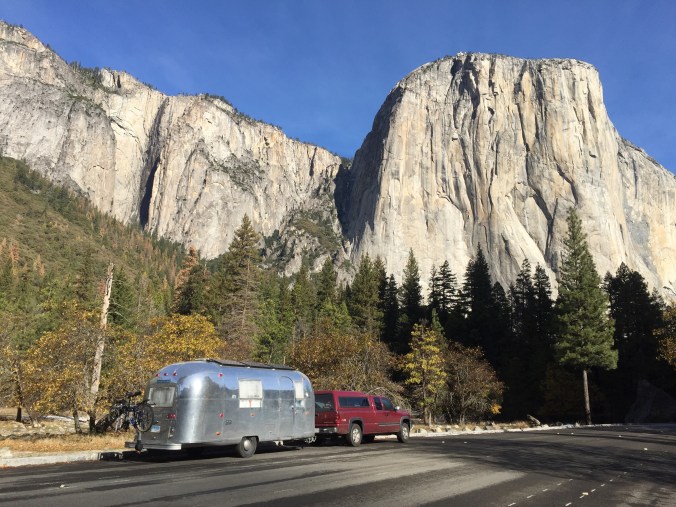
The next day, Wednesday, temperatures were up, that snow was surely melting, and in fact when we called the road conditions line, all had been upgraded to “R2”! You would only need chains IF you didn’t have four wheel drive (we did) and M + S tires (we did). Even still, when we arrived at the west entrance from 140, the so very helpful and sympathetic NPS staff at the gate (clearly reading off a checklist or some sort of matrix) told us that b/c our trailer had its own set of brakes, we would still need chains. Harrumph.
However, a ranger was quick to help us come up with a plan B: book a night at Indian Flat RV Park, about 8 miles down the road, unhitch and head  into the park for the afternoon with just the truck. And, assuming all continued to improve, we’d surely be able to get in with the trailer the next day (Thursday). As with the 99% of other times when Plan A has failed, Plan B turns out to be as good or better. Because look who we got to meet at the Indian Cove RV Park? Tigger, the RV park cat.
We quickly unhitched and headed back to the park – we felt like we had been sprung from prison, FREE, as we rolled by the entrance gate, approved to enter with only our 4 wheel drive and M + S tires. We were free to explore for the few hours of daylight left.
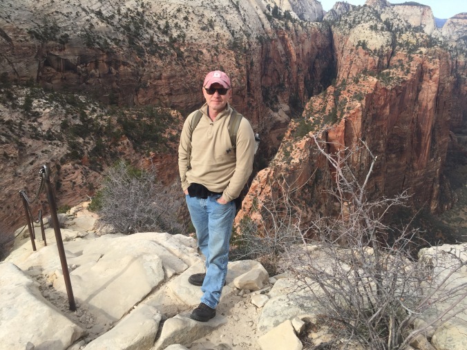
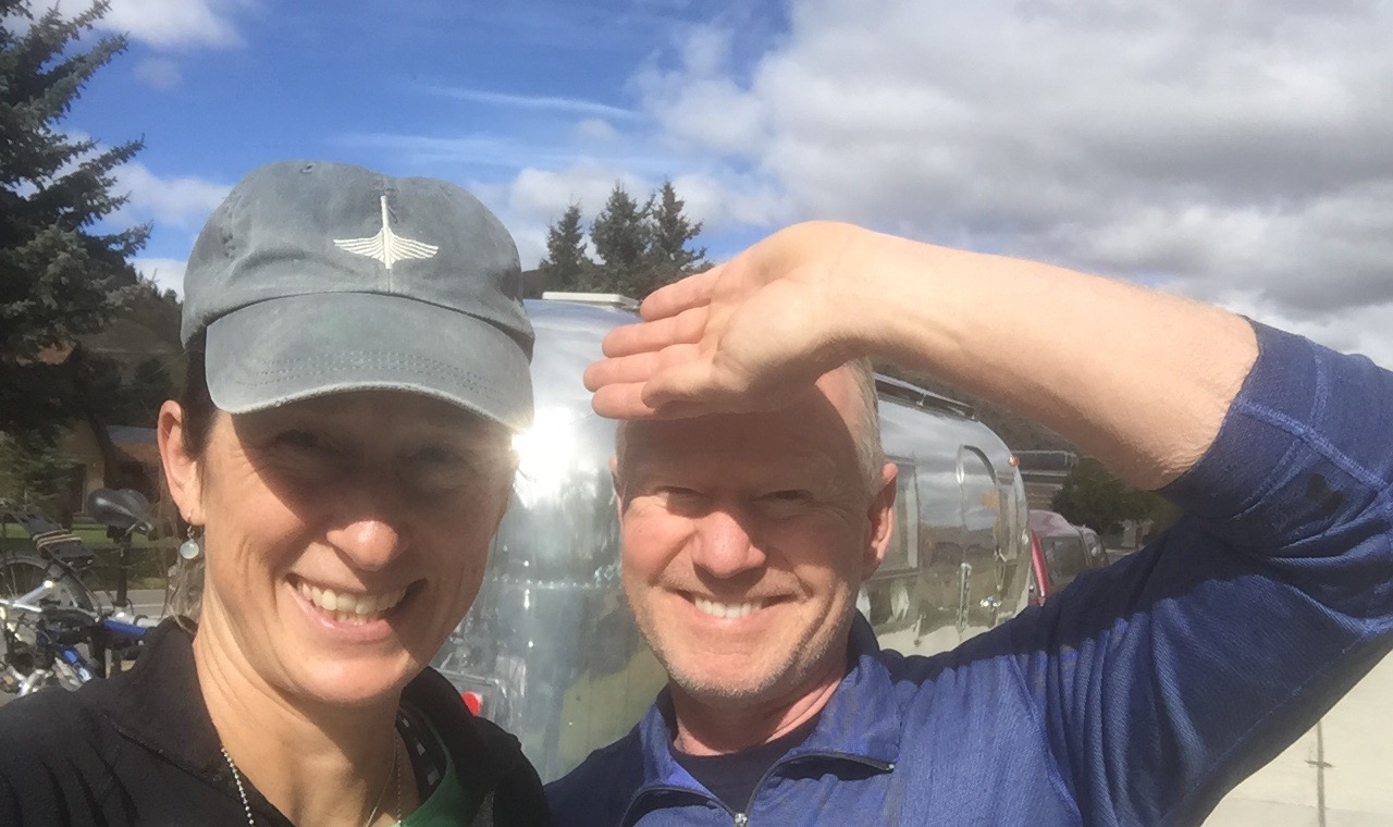
Though I grew up in So Cal, I had never been to Yosemite. I had some sense of what to expect, but was not prepared for the scale of the mountains, their pure granite beauty, and of course the stunning minute by minute changes the rising and setting sun casts on them. Plus there was snow! Melting and slushy mostly, but quite icy in spots too. Happy tourist below – first time in Yosemite.

Yosemite Valley is more or less a loop road – with free park buses that run a continuous loop to all the major sights and trailheads, so once you are in, you are encouraged to park your car and walk, bike or hop on the bus. Most trailheads, and even the Visitors Center don’t have parking lots. It took us this afternoon to figure this out.
But first, we made our way to the Pines Campgrounds, where our reservations, you may recall, had begun the night before. Despite the prominent signage saying “no refunds”, the ranger there was more than helpful in refunding the night we missed, and moving our reservations forward another day. It never hurts to ask. We stopped in the Visitors Center to do a quick perusal – watched one of the movies and came out to a completely altered night sky. Is this what it’s like every night? Wow.

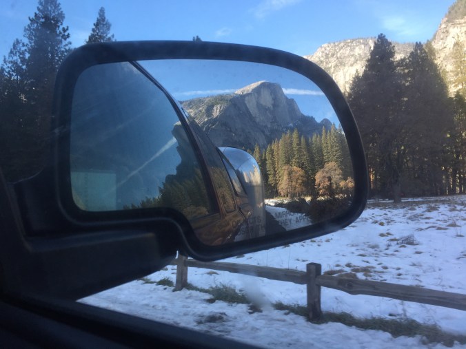
Back at Indian Flat RV Park, we rested up and hoped for the best on road conditions the next day. In the morning (Thursday), as we prepared to drop our quarters in the pay phone to find out, Ben ran into one of the rangers who helped us the day before – he came by on his way into work to tell us that indeed, they had changed the conditions yesterday. We were “R1” and good to go. How is that for customer service? Off season camping rocks.
And we are in!
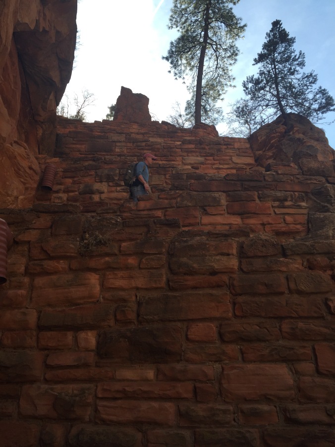
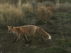
After pulling in to spot 151 in a nearly empty Upper Pines campground, we immediately set out on the Mirror Lake trail. Recommended by more than one ranger as a good “warm up” hike and one that would not be too icy. Nothing like snow to help you track the wildlife!

Very suspicious. Seen near the dumpster in our campsite.
Note, there appears to be a Mirror Lake photo op, where you can hop off the bus, walk a few hundred yards to the Lake and move on. However the trail is longer, more meandering, a true suspense builder as you go.
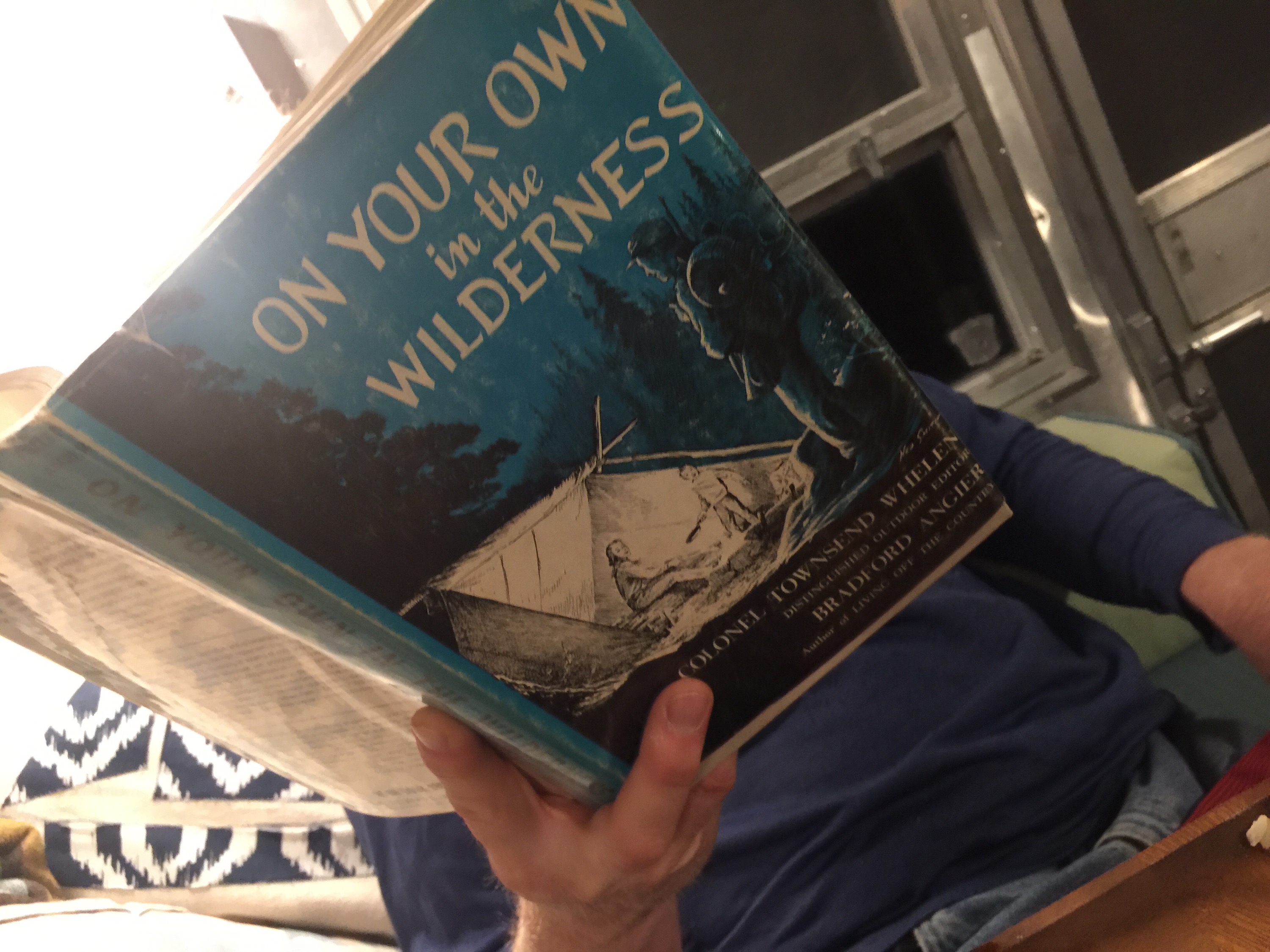
 But wait, here is where the 2nd piece of advice we received kicks in: from my friend Joan’s book shelf, she kindly let me borrow “Yosemite Valley: Secret Places & Magic Moments” by Phil Arnot. In his Introduction, he lays out some general tips for experiencing the park as more than just a tourist. One that we took to heart was to agree not to talk to one another for certain time periods. “Conversation is distracting,” Arnot explains. In order to have an in-depth experience of the Valley, silence and solitude are key. Now, Ben and I have had some really great conversations on some of our longer hikes on the trip so far, and I realized those conversations were in part borne of the time alone, the quiet, the serenity of the natural environment, the meditative quality of one foot in front of the other on the trail. It really did make me realize how much that same environment can encourage similar results, but within yourself. We were both game to try it and the Mirror Lake trail was perfect for it because there was tons to look at, the landscape was slowly but continuously changing.

This is Ben, practicing non-verbal communication as a part of our pact to hike in silence. He is saying, “Don’t take my picture!”
Most of the first part of the trail was densely wooded alongside a river. Then it opened up into more of an open field (many trees had been toppled) and clear views of those granite mountains. Incredible! Because we had been quiet, I really noticed more. The mix of fall (leaves turning, browns and golds) and winter (icy snow, bare tree) struck me as well. We crossed the river and came back on the other side.
It was about a five mile hike and we were wiped, and it was getting late, toward sunset, and we wanted to squeeze in one more activity. We hopped on the b us and got off at the Yosemite Lodge (for hot chocolate) and walked to the Yosemite Falls foot bridge. It was nearly deserted, and though the iPhone pics don’t do it justice, a lovely way to see the falls.
On the bus again, we got off at our campground stop and the driver called out to make sure we had a flashlight. We did, thanks to Ben thinking ahead but still bumped around a bit among the loops to find our site.
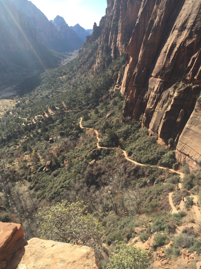
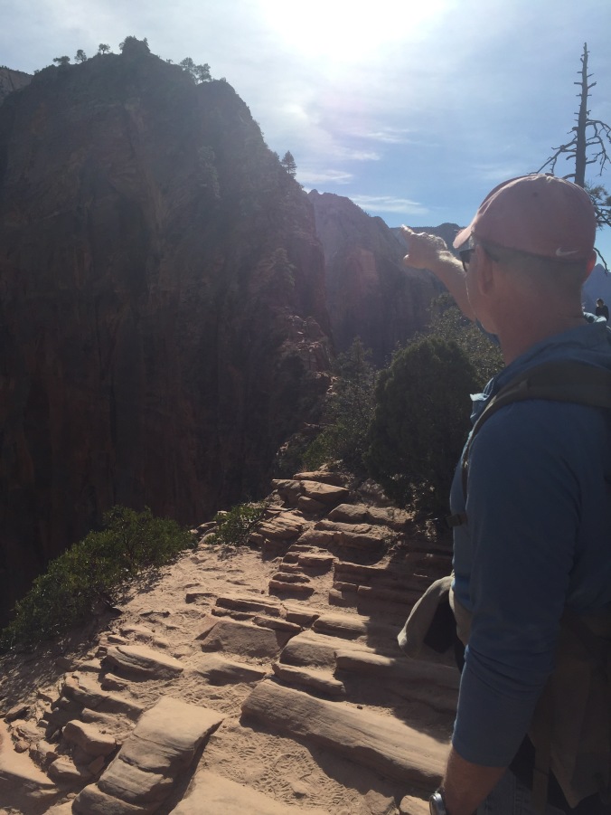
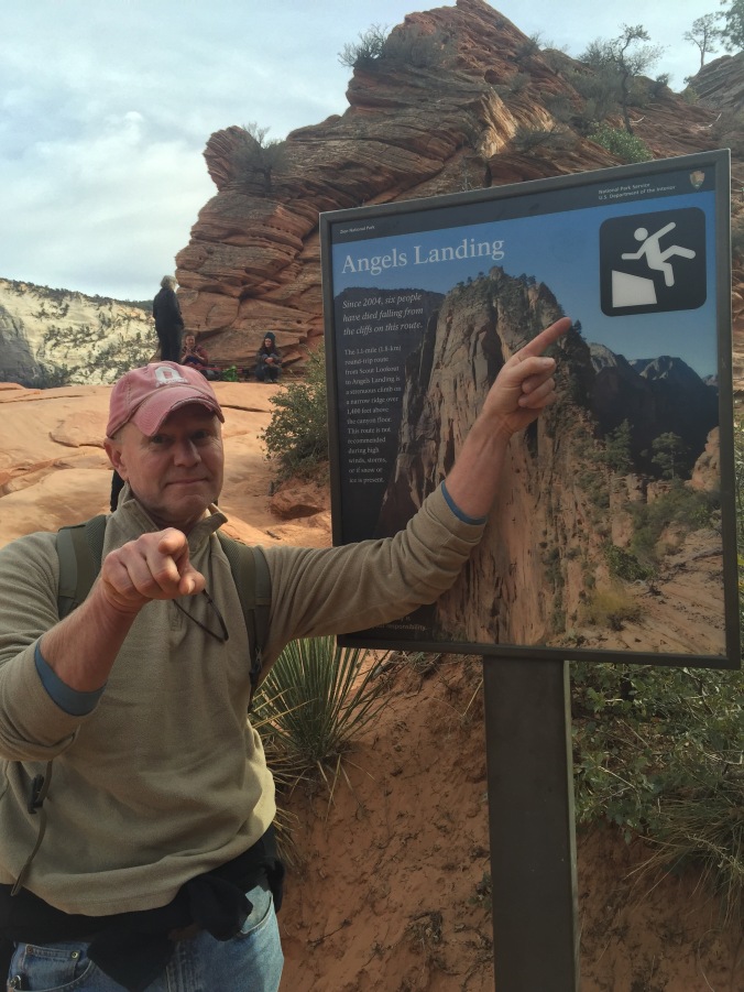
The next day we set out to do a more challenging hike – Vernal Falls. We could walk to the trail head from our site and checked out the Mist Trail on the way- which I understand is packed during high season and was now completely empty.  The trail to the Falls was quite icy in spots. We hiked alongside a group of 8th graders and figured if they could do it, so could we! The elevation gains were gradual enough so it wasn’t just a slog, and the views changed incrementally providing something new to look at at every switch back. Again, pictures don’t do it justice. Once we got to the falls, we were up for going a bit further so continued on toward Nevada Falls.
  We got just to Clark Point and the road closed signs were enough for us to call it quits there. Many other hikers, mostly fellows on their own, hopped the fence and kept going (they had better equipment) but so did a group of three women in their 50s from Korea – one of whom lives near Yosemite now and comes every few weeks to hike.
After hiking down, we explored Curry Village a bit. We saw dozens of people arriving to check in for the weekend. I bought some new sunglasses (I lost mine on the Mirror Lake trail but never noticed it – all that introspection can have its downside) and we found out we could NOT make a last minute dinner reservation at the Ahwahnee for dinner – the super fancy lodge dining option. Probably best as I am not sure what kind of outfit I could have scraped together.

The dining room was closed for a private event but I snuck in and snapped this picture. I have yet to have a fancy dinner at a park lodge. 😦
We ate at their bar instead – it was nice to get out for the evening, but I would not recommend it – sort of like eating at a chain hotel restaurant, but worse. Sorry to end on this negative note, but gotta keep it real.
The next morning we gifted our new neighbors the Schmidts (tent

We don’t know what to do with this.
campers who arrived from the Bay Area sometime around 130) the firewood that had been gifted anonymously to us when we arrived (we have yet to have a single campfire) and headed out to make our way to LA for Thanksgiving.
We took with us a fair amount of Yosemite mud on our hiking boots, and smiles for all the arriving weekend visitors who’d enjoy unrestricted access to the park roads and perhaps a few less road closed signs on the trails as the temps remained moderate for another off season weekend.


 Arizona, and Cactus League Spring Training. We saw the excellent movie Spotlight, and had Korean food at Kimchi Time where I had the very odd but kind of cool experience of having one of the waitresses walk right up to me and say “You look just like my mom! You even dress like her!” Now, as a non-mom, this was a little strange to hear, and most of my friends’ kids aren’t quite as old as this young woman, so that was a little disconcerting. (Plus, what about the “you dress like her” comment?) But she was so sweet, we took pictures together, found some more things in common and are now following each other on IG.


 breakfasting outdoors – something we haven’t done in a while. Our breakfasts can get pretty routine, but I love them all: it’s either cereal, oatmeal or eggs. This must have been a cereal or oatmeal day. The only downside is Ben and I have to eat the same thing – due to just wanting to avoid two people in the kitchen, extra dishes, etc. Oh, what we give up to go on a once in a lifetime cross country trip!
 After consulting with a ranger, we set a course to do several short hikes as we crossed the park from the West Entrance, past our campground, toward the south entrance. If fact, you may want to start calling us “Short Hike Barkers on Break,” we did so many. Feel free to follow along (from left to right) on the


 rock that has campfire smoke from who knows how many eons of campfires.
 d us of one of our cats, Gordo (who’s orange too).


 sentence in Alcatraz – I won’t spoil it by saying what it was for (think Wild West). The oldest Keys son visited the site regularly until he died just this year. He will be interred at the family plot still on site. The tour cost 10 dollars, and is only offered three days a week, though they are popular enough that they will be adding some more. I imagine it’s a struggle for the hardworking public servants at NPS to have to limit access to such a cool part of the park.


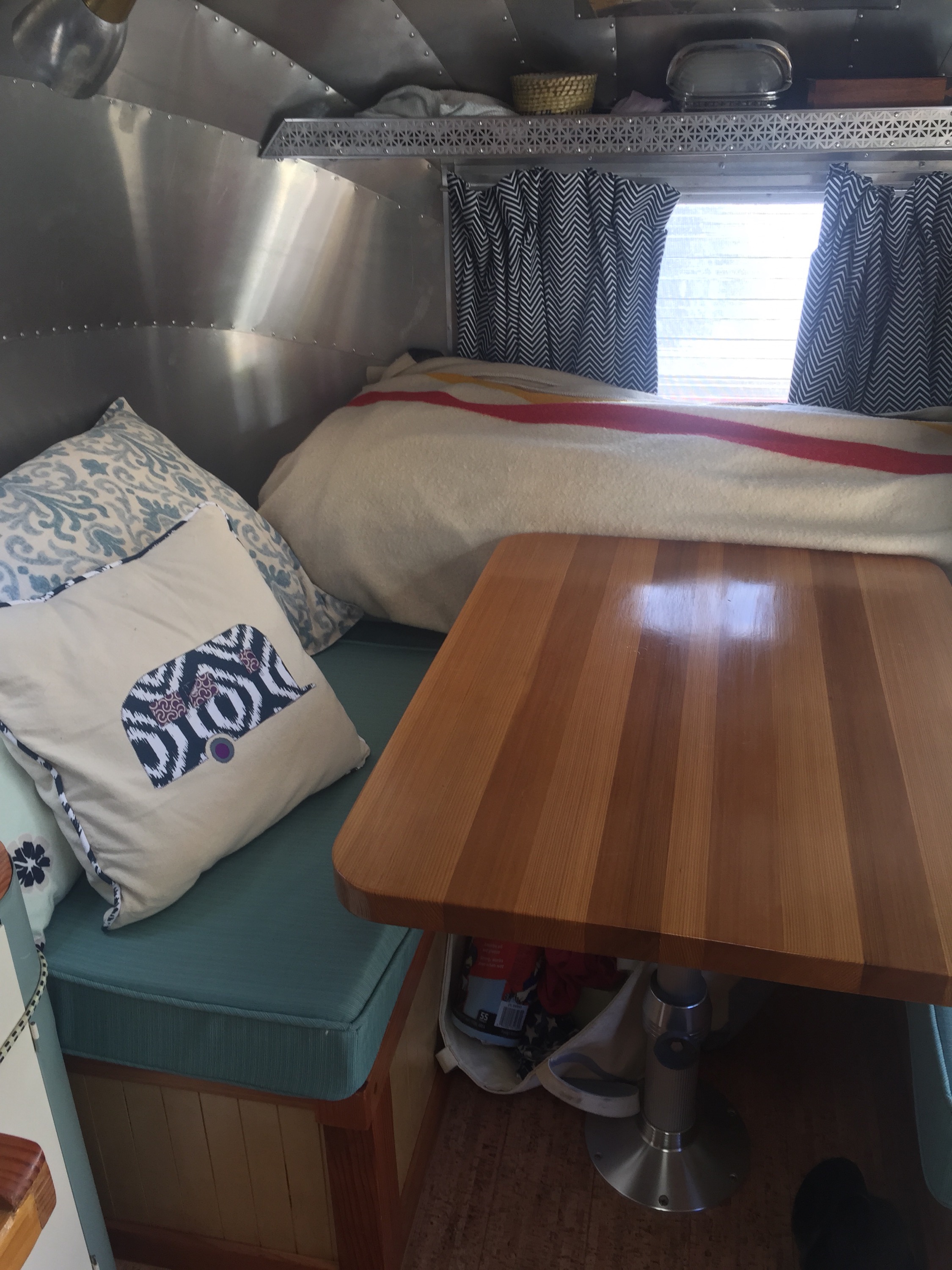
 3. Curtain tabs instead of metal hooks. I made the curtains and I guess to save a little time/labor I attached them to the rods with metal hooks. Boy were those a pain. They were hard to open, close, the hooks were always coming off and when we drove, the rods would often fall off. I retrofitted them by sewing on tabs (much harder to do on a machine after the fact) and they are working like a dream now.
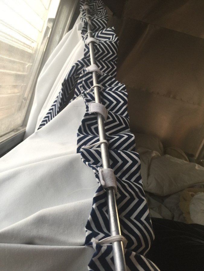


 d feedback for next time!!!

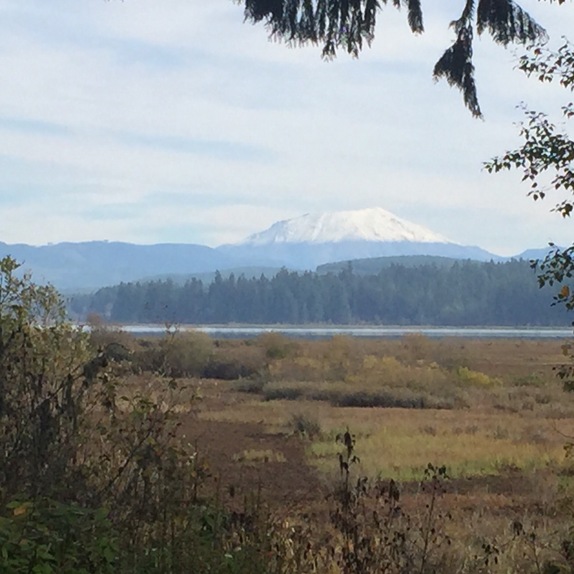

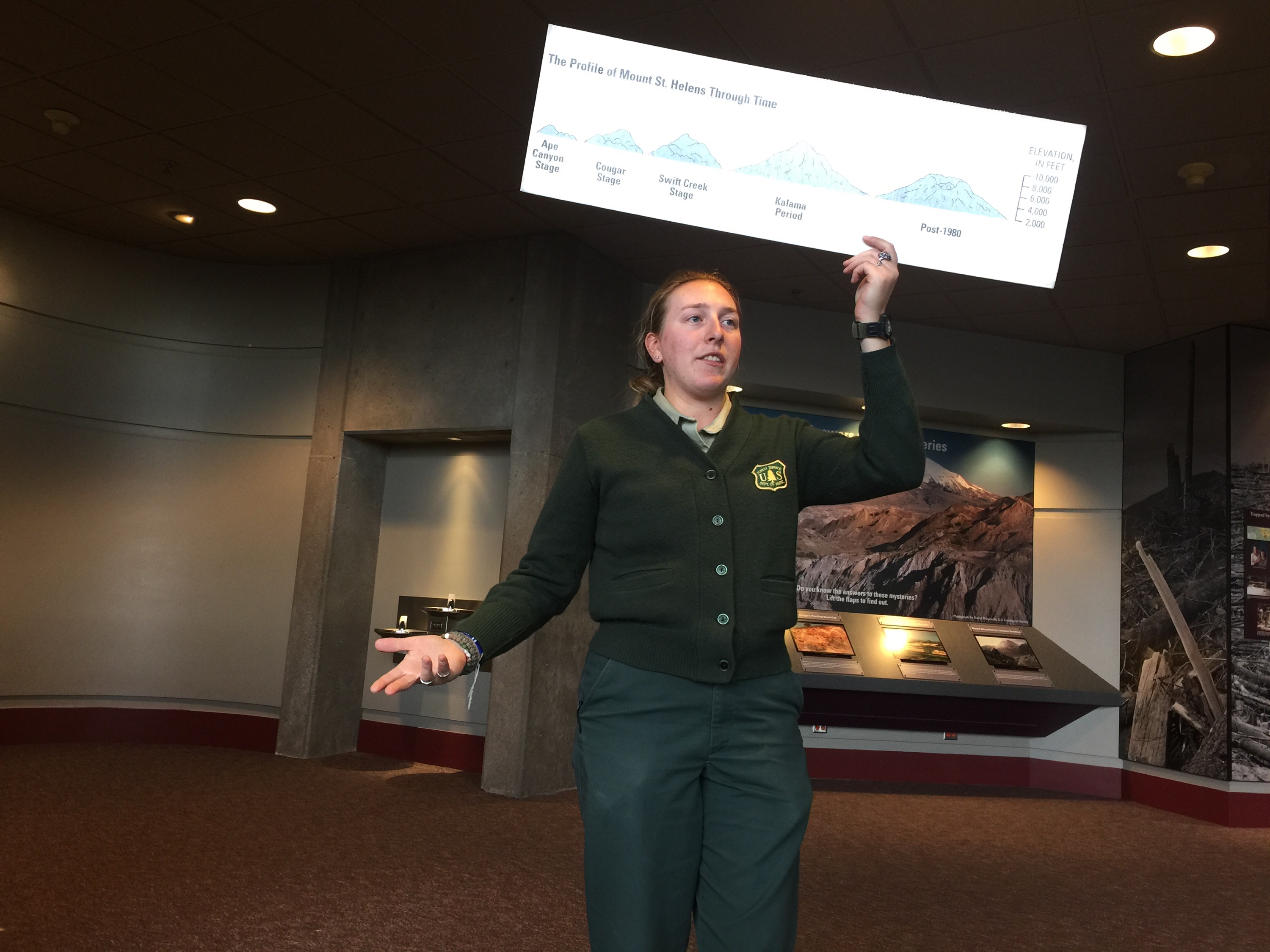
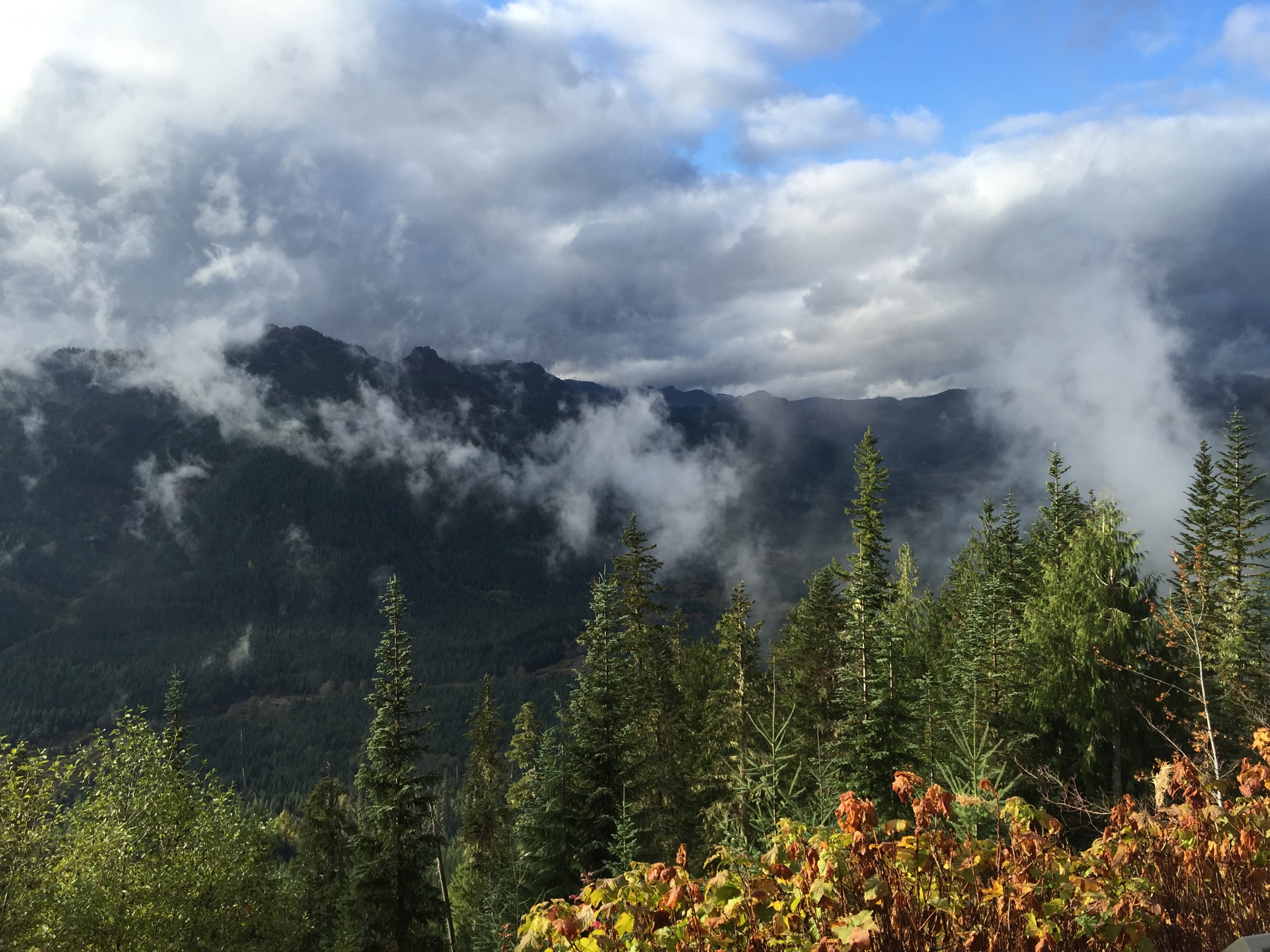
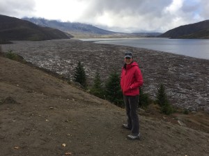
 on the readings off the mountains they were getting in the weeks and days before May 18th, 1980. Though the area around there isn’t widely populated, it is/was a popular summer destination, with cabins, lakes, camping, etc. Police had set up checkpoints all around keeping people out on the advice of people like Johnston. You can imagine, especially with the run up to summer, the pressure from residents, business owners and others. This exhibit panel to the right from the Silver Lake Visitors Center tells some of that tale.


