Pooling around in Oregon

We are spending a few months in Newport, Oregon, volunteering at the Yaquina Head Outstanding Natural Area, a BLM site that includes gorgeous coastal cliffs, beaches, birds, marine mammals, tidepools and yes a lighthouse. Whilst I was rangering last summer in the Vermont mountains, Ben was was combing through volunteer.gov to find us a gig on the water, so here we are! Our last hurrah before we are back to real life.

In exchange for volunteering four hours a day, five days a week, we have a free spot for the trailer, including water/electric/sewer. From our concrete pad (below left), we can see the ocean, if we lean a bit; a pair of bald eagles every time we walk out our door, if we are lucky; and this super cool stained glass peace sign our friend Laura made us (that somehow Ben has let me keep up-must be love of Laura who is also our #1 cat wrangler), if the incessant rain doesn’t wash it away.

In order to accommodate our new lifestyle, we had to invest in a dehumidifier, that requires emptying no less than 3X a day (in our less than 200 sq ft living space). We also got a white board calendar to mark our work start times-it changes every day depending on the tide. If it’s low tide, to Cobble Beach (below) we go to protect the sea stars, urchins, anemones & co. from the enemy: tourists. JK – tourists are rad, but this is a designated marine garden and we just need to keep an eye out and help everyone stay safe. BLM thoughtfully provides rain gear which we work, play and sleep in.

img_1926

At the beginning and end of each tidepool shift, we put out these signs so folks will stay back from places the harbor seals like to hang out.

I almost stepped on the octopus below – see how well she blends in with the kelp! One can never get enough sea stars in the frame (below right). Their population was quite diminished by a mysterious wasting disease in the last couple of years, but shows signs of coming back. You’ll see some purple urchins and green anemones tucked in as well.

When we are not in the tidepools, we staff the Interpretive Center desk. A highlight is raising and lowering the flag (in rain gear naturally), and updating the white board with tide and weather information (you guessed it: rain). Have I mentioned the snow?

Or we might go a-roving – hiking the short trails, or bringing out telescopes so visitors can see the peregrine falcons, or until recently, the migrating whales.

We sign people up for lighthouse tours – and took one ourselves on one of the few sunny days. The lighthouse has been in operation since 1873. It’s a first order Fresnel lens. Automated in the 40s.

img_1946img_1943

A few more tidepool sights below. We are there often enough that it’s pretty easy to notice something new or different. The rangers helps us out with id-ing stuff.

I’ll leave you with an octopus video of the same little lady pictured above. She scooted around for several minutes close to my boots – I was more afraid of her than she of me. She was likely trying to find her way back into the water. Rangers said it is pretty unusual to see one, and very unusual to see one out of the water. So here you go…up, doh, I have to upgrade to post video on WordPress. Go see it on Instagram where I can hopefully post it. 🙂  More from Oregon soon, specifically: on how one passes one’s free time in a 200 square foot trailer when it’s raining (constantly).

More Vermont Itineraries – Penultimate Post!

Hey! It’s September – or it was September. A month we were looking forward to because we had plans on the books! But first…

Hildene in Manchester, VT. The gardens are stunning.

Did you know Abraham Lincoln’s only son to survive to adulthood had a country estate in Vermont? And that Robert Todd, as head of the Pullman Car Company, carted his father’s papers back and forth between DC and Vermont before finally donating them to the Library of Congress? I had heard this story while working at the Library – the folks there were desperate to get Lincoln’s papers to take care of them for posterity. So we headed north to Manchester to check it out…The tour was very interesting – they even have a restored Pullman car onsite. They don’t hide the fact that Robert Todd did little to advance civil rights for African Americans, but you have to hunt it out a bit. The failure of Reconstruction.

Safe where it is thought Robert stored his father’s papers

One of the few Lincoln top hats remaining

The next weekend, which happened to coincide with my birthday, couldn’t have been better – thanks to high school friend Nicole who has a superpower for making plans and the kindness to invite others along.

Her father has a house in Willsboro (see red dot on the map below) on the New York side of Lake Champlain. Vermont is on the east. The Adirondocks are to the west. We’d been wanting to see Lake Champlain, in part because we’d heard that was the closest sailing. 

We had a glorious 24 hours, stopping at Fort Ticonderoga on the way up. (A state historic site, valiantly trying to offer hundreds of years of history on the continent, with thousands of artifacts and dozens of buildings.) We didn’t love Fort T: too much to take in, not very successfully curated. But perhaps we were just anxious to keep moving…


This picture gives some sense of the strategic of value of Fort T’s location at the base of Lake Champlain and the tip of Lake George.

Our time with Nicole and her husband Ed was a feast of beautiful landscape, great food, scintillating conversation (some even political!) in a sweet house in a sweet spot. We went kayaking and I swam about 10 strokes from a pier to a float and back. Even in late summer the water was cold! We went to a local brewery and butcher. I practiced taking food photography. Below is an example of what not to do. For some examples of what to cook and how to photograph it, check out Nicole’s cooking blog, Riegl Palate.

We are hoping to be asked back, and said so to Nicole’s father directly in the guest book!

We took ferries across the lake coming and going- here we are (above) going with the Adirondacks in the background.

Next weekend we did a day trip to St. Johnsbury, VT. There, in the Athenaeum/public library, you will see the largest extant Bierstadt (below). It is about to undergo a comprehensive restoration – in fact, the canvas is separating from the frame in the upper left. It’s going to be quite the operation to even get it out of this building. Note the narrow doorway in the bottom pic, right. 

On our way home, we stopped by Craftsbury, VT, home of a well-known sculling school. It would be a dream to come here for a week some summer. Anyone care to join me? They do running, mountain biking and yoga too. 

Then it was our turn to host a high school friend – Monica and Hunt! Monica is an American history professor and a genius. For years, in all the places I have worked, she has patiently answered my questions about history.

We made it to the Calvin Coolidge State Historic Site. Ben and Hunt had fun in the gift shop, while Monica and I reenact Calvin’s swearing in (after Harding died in office). Took place in that room right behind us. His father, a justice of the peace, officiated. 

The following weekend, we did one more day trip to South Royalton, home of the Joseph Smith birthplace, run by the LDS community.

You may recall my great great grandfather died on the Mormon trail. Quite the story, so gotta check in with my peeps when we can. We were the only non-church members on the tour, so we got extra attention when it came time for q and a. 

We then hightailed it a few miles away to the Justin Merrill site. Merrill was the Senator responsible for the Land Grant College Acts – a big push in conjunction with westward expansion to professionalize farming, civilize the frontier, and educate more people than just those who were going to become lawyers or preachers. Merrill himself made a fortune in business, but regretted he did not get a formal education. Hoped that would change for future generations. The woman who was the director of the site also gave the tours (above) in period costume, took the money, and I am pretty sure cleaned, budgeted, writes grants, does PR, and keeps the ghosts from scaring people. Made me appreciate my NPS job.

The next day we hiked part of the Long Trail (like the AT, but older) and enjoyed fall colors just starting to pop. Only one more Vermont weekends summary to go…

More days off – August

So August began with us hitching up the old Airstream again and heading to magical Rockland, Maine, where our friends the Sauters were renting a house for a few weeks. This was their front yard.

img_9877The Sauters are from Germany – we met them at Wooden Boat School a few years back and have gotten together several times since – mostly here in the US (where they travel a lot!) and once in Barcelona, which was super sweet too. Here in Maine, where they come so often, the shopkeepers and lobster men know their names. And they’ve made some other friends too, who joined us for an epic “bbq” featuring every fish in the sea. A blueberry snack cup, Owl’s Head Lighthouse, and Pale Ale named for a Civil War general (from Maine) were just some of the other highlights.We might have talked about US elections a bit too.

Next weekend I scooted down to DC to for a “Close Up” reunion. Close Up was my first job out of college, and these five women were some of my first friends. The amount of girl power, teaching, lawyering, journalisting, and all around awesomeness among this group is HUGE. True of all the friends I met there and through them. Here we are at my favorite breakfast burrito spot on Capitol Hill. You can tell by our glow how hot it was that weekend. img_0083

Let’s see…the following weekend, four STEELES come to visit us in Woodstock! Maxing out our guest bedrooms and more, my brother and his kids came for a fun-filled weekend of cooking, biking, hide and seek, whiffle ball, sight seeing, and most importantly rope swinging! We spent hours one day swinging into the Ottauqueechee River from a rope tied to an upper tree branch. When we’d mastered that, we moved on to jump off some rocks down river near the Simon Pearce store in Queechee. The next day the kids went back for more.

img_0131

Other highlights included giving them all a tour of the mansion and a farewell picnic lunch on the grounds.

We capped off the month with a blockbuster visit to Boston to check out a couple of (wooden) sailboats that Ben has had his eye on. Before we had an Airstream, we had a boat and we will again some day. The one on the left was on the hard, but the one on the right was anchored. Though we didn’t sail, we did take a dinghy out to see it and it felt pretty nice to be out on the water.

We stayed with my friend Amy and her awesome family who helped us plot our course to see TWO national historical parks on the way home:  first, the Adams National Historical Park in Quincy. Popular culture -HBO series, Hamilton (note my t-shirt) – have brought John Adams into prominence. In the midst of a very urban area, some geniuses and heroes have preserved these places. You can explore his early homes, and the one he shared with Abigail after they retired. There, at Plainfield, you can see the desk from which he wrote his reconciliation letters to Jefferson, and the chair in which he died (or took ill, I forget), his last words being “Thomas Jefferson still survives.” (Wrong!) I thank our awesome ranger who explained that Jefferson had been ill, so his health was on Adams’ mind.

Then we made our way north to Lowell, MA and the Lowell National Historical Site. This site tells the story of the textile mills, the industrial revolution, and the New England and immigrant women who fueled it during its boom (1820s-40s). The entire town was built based on engineering the Merrimack River to produce maximum water power. Six miles of canals were dug and they are nearly intact today (our ranger explaining it all at left below).  In the middle, you see Ben next to one of the looms at which women labored for over 12 hours a day, 6 days a week. (Inspiring the first women’s strikes and union action in the 1830s). You can see (and hear) a video of the loom at work here, and get a feel for what an awful job it must have been.

At work, I had been preparing to do the “Service Wing” tour. Understanding more about how the textile mills in New England shifted women’s opportunities (away from jobs as servants)  in the market economy  is just the kind of “days off” I like!

So that’s too serious a note to end on…so I will end with some pics of our family’s visit. Summertime! The same kiddos just celebrated (with their mom the superfan) the Cubs’ World Series victory last night! Woot!


How we spent my days off

Rangering is only 8:30 – 5, five days a week. So we had 17 sets of “weekends” (my days off were Thursday/Friday) over the course of our summer in Vermont. We didn’t go away for all of them,but most involved at least a day trip, and sometimes an overnight. Here’s a map and a rundown of what we did for the first four!july-2016-map

First – Montpelier! The state capitol. Isn’t it lovely? So stunning and yet so Vermont. The previous state house burned down in 1857 and they went to work on this replacement right away. Some of the original locally quarried granite is still there!img_9442

There was a storm moving in while we were there – a bit of an anomaly as it turned out because it was a very dry summer in Vermont.

We had a fabulous YOUNG tour guide who walked us through the beautiful building, pointing out this and that. When we toured the hall with govenors’ portraits, she did NOT have to tell me who the fellow (below) on the left was. We ate dinner at a fairly forgettable establishment, but did find Vermont’s famous because it’s hard-to-find-so therefore-famous beer, Heady Topper.

The following weekend we had a date with Reverend Jack, the Presbyterian minister and WW2 vet/POW who united us in marriage lo this 13 years ago. He goes to Maine every summer to spend a few weeks in Goose Rocks Beach near Kennebunkport, where he was “stationed” at a church for many years, and where he raised his family. We drank martinis, strolled the beach, stalked the Bush family compound, and ate lobstah at Nunans. This weekend will also be remembered for the birth of our nephew Cash – a wee bit early, but all the more exciting!

The next weekend Ben was off on an adventure on his own, so I ventured out on my bike a few miles up the road to hike some of the Appalachian Trail. The AT is a big part of the community here – many locals are “trail angels” bringing food, drink and supplies to spots on the trail for thru-hikers to take as they need. You occasionally see hikers in town, looking for wifi or a laundromat, or a shower.

I really loved my bike-hike combination. I saw/smelled some hikers going south, some going north (nobo or sobo in the parlance). Many of them wisely took a short detour off the trail to get some pie at On the Edge Farm. This little visual treat was along the route for me.

img_9609

Finally, we did a big trip to New York’s Hudson River Valley – the mansion I give tours in as a ranger is filled with American landscape art. On a tour my first week, I had accidentally identified a Thomas Cole as a Thomas Moran. One of the visitors corrected me via a very polite note left at the visitor center. Ugh. It was time to get smart. Below, the view of the Catskills from Thomas Cole’s house in Hudson, NY. The Hudson River is between here and there. Isn’t it stunning?

img_9697

For those of you as ill-informed as I used to be, Thomas Cole was THE founder of the Hudson River School of artists. Not a school you go to. More like a group of people with a similar approach – elevating American art in the days when there was no such thing, with a focus on our landscapes. The house had some original furnishings, but really showcased his work habits, routines, and approach as an artist – for example look (below, left) at his notebook showing the different colors for tree bark, and (below, right) his studio. Cole died fairly suddenly, and young-ish in 1848. Respiratory ailment – all that work in studios with stoked fires, handmade paints, and toxic fumes.

We swung west, just about 20 miles toward those Catskill mountains for a short hike to Kaaterskill Falls – a fairly small, but lovely waterfall that just knocked the socks off those artists once they could steamboat their way out of New York City in the 1820s.

One of Thomas Cole’s students, Frederic Church, was born to wealth, but became an accomplished artist in his own right. Both are showcased at his home just a few miles away: Olana. Such a beautiful house, more opulant, inspired by Church’s visits to the near east.

After Cole died, Church helped his estate (cash strapped family) by selling Cole’s paintings. We have three Coles in the mansion, plus the correspondence between Church and the Billings family, negotiating the sale (this was before the days of art dealers.) And now I am proud to say I can tell a Cole from a Moran.

One proud couple spoke their truth this same weekend, the weekend of the DNC. And, because the moment involved a pocket constitution, I screen grabbed it. I just found it among the Hudson River Valley photos on my phone. So, I will leave you with one more timely work of art.

img_9784


Quebec City

“Bonjour! Hello! Hi!” – all acceptable ways to greet someone in Quebec City, as told to us by many, many locals. It’s been a while since I’ve posted, said no blogger ever. Ha! A rainy day off will inspire you…

We wanted to do a weekend trip to Canada while here in Vermont and Quebec won out over Montreal as recommended by others – it just sounded more to our taste: low key, walkable, on the water, historic, nice people who don’t mind if you don’t speak French. It was about a five hour drive from our current home base in Vermont, so I took the afternoon off and we headed north, passports in hand.


Upon arriving at our hotel, the Manoir Victoria we were told they had good news and bad news for us: they had overbooked BUT they were putting us up in the super-fancy imposing landmark Le Chateau Frontenac hotel for the night. Just 1/2 mile or so away, we nonetheless took up their offer of a free cab ride (the cabby laughed at us for not walking) as we had our bags, were tired etc. First, though, we got a recommendation for a nearby parking lot where we could park our very large truck–only about 30 bucks for two nights in the old city, so not bad.

We loved the IDEA of staying in the Frontenac but in the end, it was a bit too crowded, touristy and impersonal for us. We really appreciated our smaller, more personal hotel – and the fact that they more than made good on the overbooking error. We did enjoy taking some pics in front of the Frontenac the next day – tourist style. 

As far as itinerary for our one full day, it was pretty simple-eat and walk.

The walking first. There is much to see in the old city, and we were lucky with great weather. Just soaking up the sounds of the French and immersing yourself in hundreds of years of history is a treat. I feel like I finally got an in-your-face explanation of why the French and British hated each other that hitherto  I’d only experienced “up close” in the movie Master & Commander (that Ben makes me watch again and again.) We found a couple of good walking routes online (e.g. here), and referred to them occasionally as we just did a loop around the old city.

From our hotel room

Sleepy-eyed in Rue Saint-Jean

A little spit and polish for the Fresque du Petit-Champlain

La Basilique-Cathedrale Notre-Dame de Quebec. I never appreciate my Catholic upbringing more than when walking with confidence in to admire a beautiful church.

Fall is everywhere

Fortifications – and me!

The loop continued around to the Parliament building, the “Plains of Abraham” – site of THE battle that ended French rule, but not presence! And an effort to do a little antique browsing.

I thought the Fontaine de Tourny was just mesmerizing. The story of its relocation from France (where it won a gold medal in the 1855 Paris World’s Fair) is fascinating. Google it.

Angelica, Eliza, and Peggy.

Canadian heroes are everywhere.

Rock by rock, just like the old days. A UNESCO World Heritage site, construction projects were everywhere. Many of them are reminders of war.

Location, location, location

Stunning artwork on the Place Royal, with the docked Queen Mary 2 in the background

Just one unique example of the THOUSANDS of tourists like us, capturing their visit to a picturesque place

And to the eating…. We had a bit of a time finding a place the first night as by the time we moved hotels it was almost nine. And the first place we sought out (via Yelp) was closed and out of business when we got there. I am torn between making reservations and going with the flow on trips like this, as either can work well or backfire. Our experience the first night led me to make a reservation for night two at Patente et Machin in the St. Roch neighborhood (walkable from Old City, but we took an Uber back.) and I was glad I did as it was a delish meal that got us out of the old city and into an adjacent neighborhood.I found it in NYT 36 hours in Quebec City. We also enjoyed breakfast at Le Cochon Dingue and crispy time at Sapristi, both in the Old City.


Though at times we were literally overrun by crowds of tourists (with selfie sticks, packed together, struggling to keep up with their guides) you couldn’t help but appreciate everyone’s joy to be in this beautiful city. And you hear this all the time, but it bears reinforcing: many locals expressed their appreciation for the fact that we at least tried to speak French. Even if it was just: “Parlez-vous anglais?” There is no excuse with all the apps out there. Bucket list for me: learn another language. It’s like a secret world. Hold me to it please.

Before heading home, we took a quick side trip to Parc de la Chute-Montmorency, less than 10 miles outside of Quebec City. Higher than Niagara! Lovely in the fall…mashed with tourists, so go early in the day. Follow the signs to Manoir Montmorency for parking.


We headed back to the US of A just in time before they built the wall!

Arbre pose

Au revoir, bonsoir, that is all-  for now!

Two Days in Little Rock

So, we’ve headed out on a medium length loop through the near southern states: Arkansas and Mississippi, before we head back toward the (gulf) coast and then make our way toward Florida. The obvious first stop in Arkansas for us was the William J. Clinton Presidential Library and Museum in Little Rock. While there, I knew I wanted to visit Little Rock Central High School as well. What I didn’t expect was how much the two sites complemented one another. (Spoiler alert: civil rights, federalism, politics, grassroots, separation of powers, checks and balances, etc.)

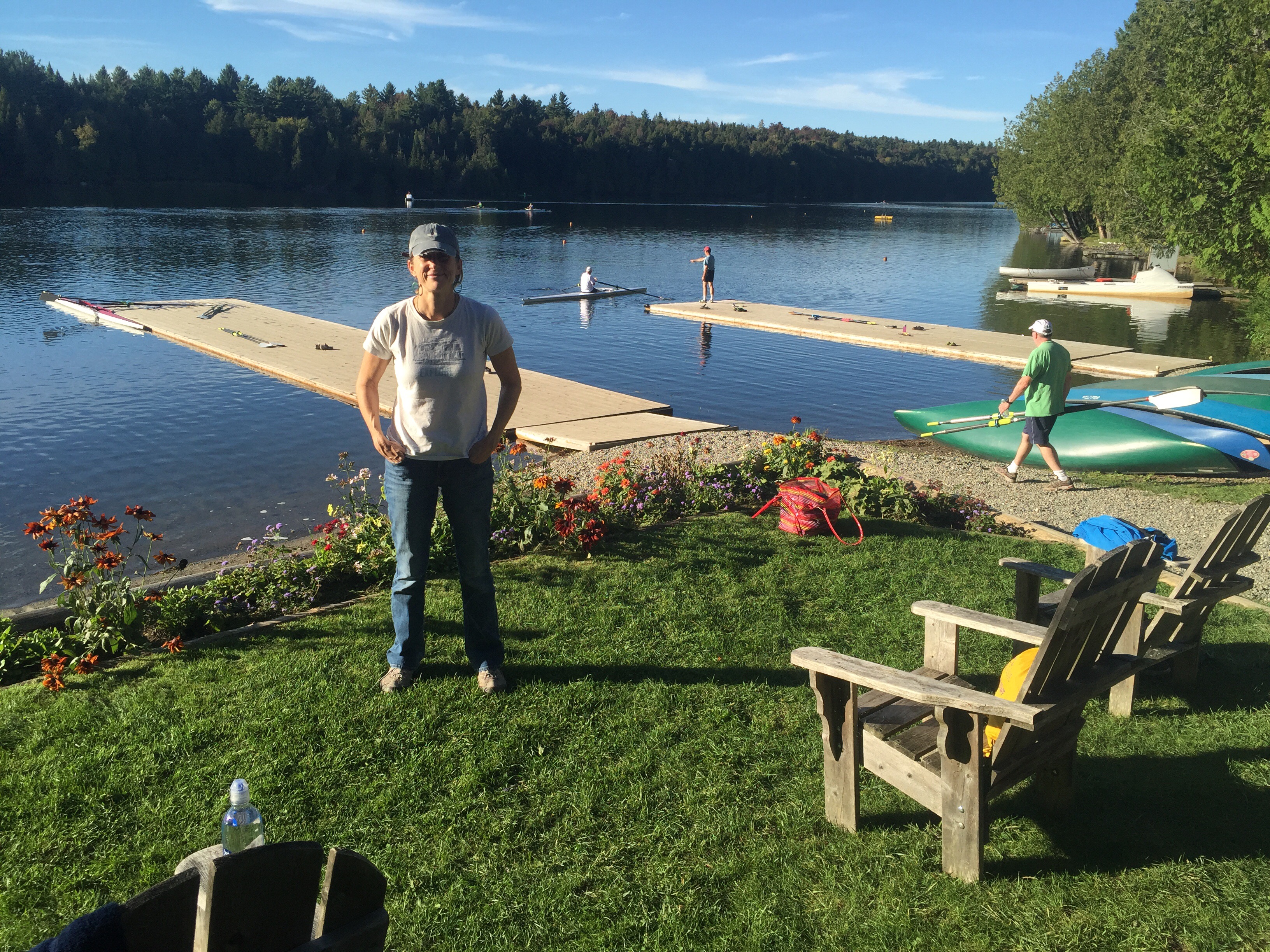
We found a cool little RV park to stay at right on the Arkansas River. It happened to be adjacent to a rowing boathouse;  very welcoming to be bunking down near all those pretty racing shells.

img_5948

Not a beauty shot, but wanted to get the RV Park and the Rowing Club in the same shot!

However, there would be no rowing, just history stuff for us on this fairly cold and rainy February weekend. The RV park is right across the river from the Clinton Library, and there is a pedestrian bridge (see pictures above and below) you can walk across to get to it.

Walk, we did not! Our nephew Charlie, who attends nearby Hendrix College, joined us for the day, and drove us around in style. One of the very first exhibits is this armored presidential limo – Charlie and Ben pose graciously below. Family!img_5956
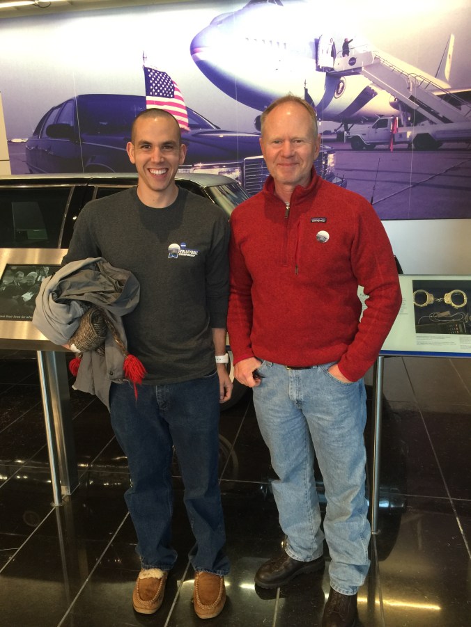
The top of mind question for me heading into the museum was how they would handle the impeachment. No politics here – purely from a teacher’s point of view – how do you convey such a controversial subject, in a way that does justice to the subject, but is also “approved” by the man whose name is on the door. I’m not sure how that stuff gets negotiated between the National Archives staff and the former president’s, but I’d love to be a fly on the wall…

Clinton’s life story and his rise to the stop is a pretty amazing. His father died before he was born. His mom put it into another gear, left young Billy with his grandparents while she went away to nursing school. That had to have been TOUGH. His grandparents lived in Hot Springs (about an hour from Little Rock) and owned a little market that (unusual for its time) served black and white alike. The Library did a good job of linking Clinton’s personal experience growing up in the same decade as Brown vs. Board and in the same place/region as the very public battle over integration at Central High School in Little Rock. His grandparents get credit for lighting his passion for civil rights.

Some early campaign materials above…

So the museum also has a cabinet room, and an oval office and presidential limo. The bulk of the exhibits organize his accomplishments by policy area, and there is a separate timeline display as well.

img_5976

The timeline is presented down the middle, with the alcoves on each side presenting material by policy area. The design of the space was modeled after Trinity College Library in Dublin.

The timeline is presented down the middle, with the alcoves on each side presenting material by policy area.

We visited the same weekend Supreme Court Justice Antonin Scalia died and had tried to explain to our nephew – who attends nearby Hendrix College and joined us for the day – that things weren’t always so partisan as they are today. However, my trip down memory lane at the Clinton Library disabused me of that “memory” (Republican Revolution anyone?)

img_5959

A tour group getting the scoop on Clinton’s accomplishments related to the economy (alcove behind the guide and to the left)


So, here is how they treated the Impeachment. I can only imagine the painstaking word for word drafting and editing that was done. For those who forget, are too young and/or don’t have your pocket Constitution handy, Impeachment is a two step process: first, the House votes one way or the other.

img_5968

Then, the Senate has a trial – for real – Chief Justice Rehnquist presided and the Senate was the jury.

img_5969

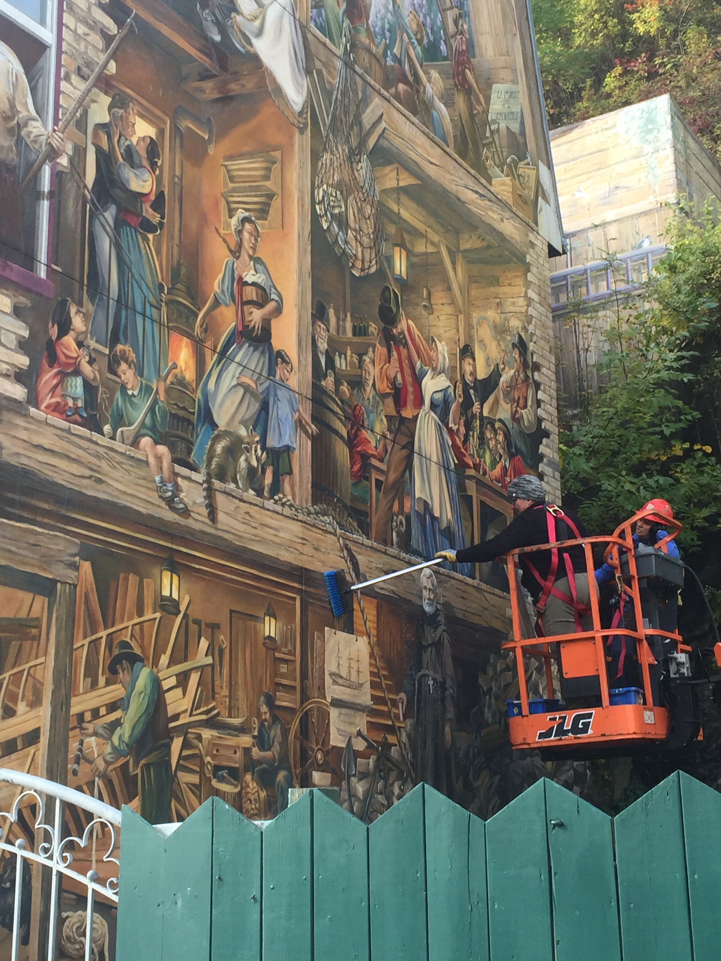
How did we maintain our energy with so much to look at and learn about? That morning, we brunched at Skinny Js – I think we could have easily walked there from our park to  the funky little main street of North Little Rock. I highly recommend the Louisiana Omelette, and for sure get the biscuit. Park in the lot behind the restaurant so you can see the amazing mural below.

img_5953-2

The next day, Ben and I headed over to Little Rock Central High School. STILL a working high school after all it has been through. It is a National Historic Site – complete with a Visitors Center and they even give tours (sign up in advance) that take you into the high school. But for me, just being out on the sidewalk was enough.

img_6016-1

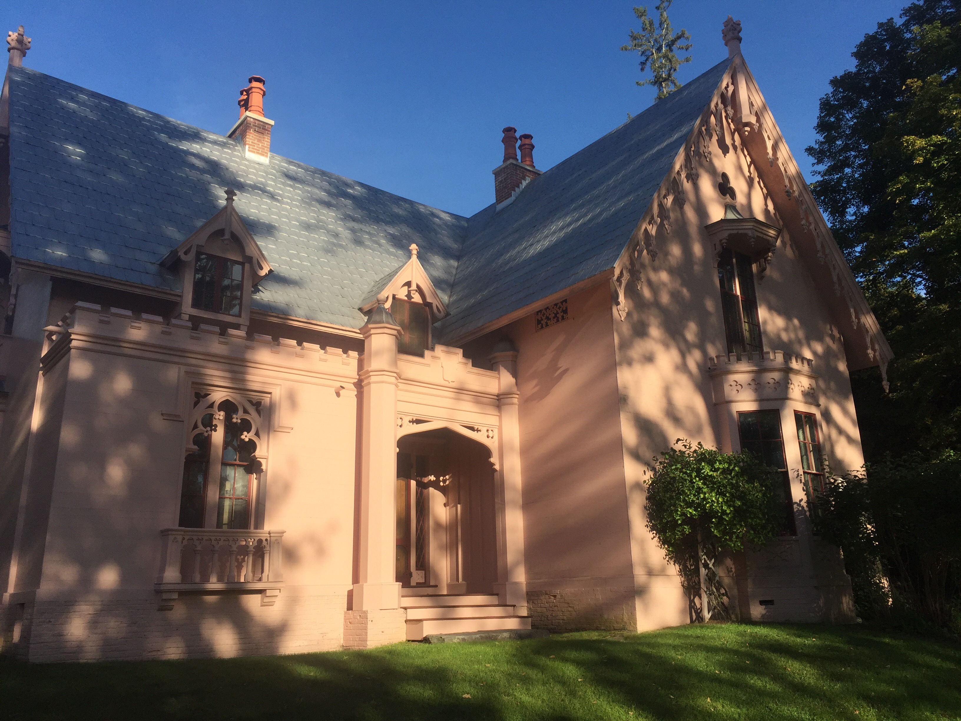
Little Rock Central High School, today

Right here, in 1957, first the national guard, then the Little Rock Police and finally the 101st Airborne offered varying degrees of “protection” to the students and the community (and the press!) from those who opposed integration, including, most significantly, the state’s governor, Orval Faubus. (An elected office also held by Bill Clinton.) Standing out on the street today, looking toward that majestic building, you cannot but help feel awe, admiration, and gratitude for the Little Rock Nine and their families and supporters. The building itself is massive and gorgeous – a mix of art deco and gothic styles.


The Visitors Center did a nice job of contextualizing the events in history, focusing on the rule of law, and especially the balance of power between the federal and state governments.

img_6003

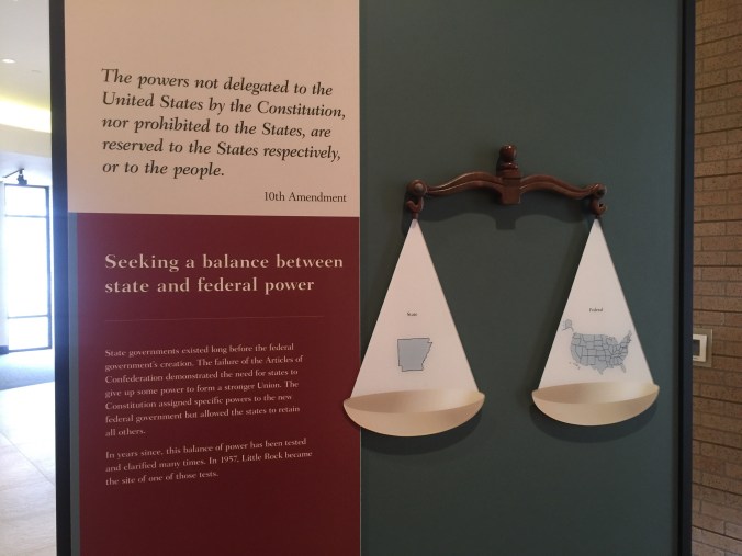
Federalism! Design your American road trip around it…

The exhibits detailed the Constitution’s treatment of slavery, Reconstruction, Jim Crow and the careful, methodical work of the NAACP which lead to the Supreme Court’s 1954 Brown decision, mandating that schools integrate with “all deliberate speed”. Just a tad vague, right? This touched off the crisis in Little Rock.

Central High School was – at the time – the “white” high school, the best high school in the district because it had the best resources, most class offerings and activities for students. After Brown, the NAACP petitioned the Little Rock school board to integrate. Slowly, the school board moved forward – slowly. And, as they say, all hell broke loose.

img_6014-1

img_6001

Almost the same angle, today

This view above, from the Visitors Center, shows the gas station, on the left, which had the only pay phone in 1957. So that’s where all reporters went to file their stories. It’s part of the historic site.

Once the nine were finally escorted safely inside by the 101st Airborne (three weeks after the image above and what should have been their first day of school), the struggle did not end. Oh, what a difficult year they had. Though the artifacts below on the right are tough to look at, it’s not enough to say “they faced prejudice” – it’s important to SEE. We owe our thanks to those involved in integration struggles, as well as the caretakers of the history, like the National Park Service, to make sure we see for ourselves.

img_6011

In the spring, the only senior in the group, Ernest Green, graduated. But, what happened next, I did not know: the four high schools in Little Rock closed the following year, as a result of ongoing resistance to integration. Closed. What a story-just makes you want to know more, right?

img_6013

Both Ben and I were shocked but amused to read in a gift shop book: despite the schools being closed: “Strangely, the football programs continued.” Ah, America. So much more to learn.

In the Clinton Library, an exhibit shares the president’s pleasure, years later, in holding the school doors open for the Little Rock Nine during an anniversary commemoration, as well as hosting them in the very same governor’s mansion where Faubus plotted against them. Pretty cool to see how history runs through and across a particular place in our country.

On the way out of town, we stopped for a photo op at The Old Mill at T.R. Pugh Memorial Park in North Little Rock. This “find” was my reward for perusing the local tourism brochure rack in the RV Park-would have never known about it otherwise.

img_6023The Old Mill was featured in the opening credits from Gone With the Wind. Apparently it’s the only building left from the filming (blink and you’ll miss it). It isn’t actually a mill (more like an old fake mill), but it IS old, and picturesque.

I recognize the irony of a blog post mostly about civil rights in the south ending with a nod to a book and film that perpetuates the lost cause mythology, but it’s all connected, right? Very grateful for the chance to explore and learn.


Making Sense of The Very Large Array

The just announced discovery of the sound of black holes colliding a billion light years away has us, once again, in awe of scientists (and engineers and the other people who made this happen). Just like we felt on our visit a bit ago to The Very Large Array in New Mexico- oh if civilization had to depend on the meager thoughts and ideas that come out of our kitty brains, we’d be in trouble. Thank goodness for smart people!
img_5622

They Array was most familiar to us (in retrospect) as the set for a chunk of the Jodie Foster (based on Carl Sagan’s book) movie, Contact. (I credit my ever handy Lonely Planet USA for even knowing it existed and that we were near it.)

The Array is comprised of 27 giant antennas detecting radio waves from space, spread out for miles (hence the name) over a high (no radio interference), but flat expanse southwest of Albuquerque.

I think I have got this right – our eyes, binoculars and telescopes detect light on the visible spectrum. But these babies, radio antennas, detect light not visible, way on the other end of the light spectrum.  All of the antennas are synced together so their data can be combined to form higher resolution images – that we can see! (example below, right) of objects in space. The dishes are moved every few months into one of four configurations – depending on what exactly they are hoping to detect. But, don’t trust me: go to the source for a more thorough explanation about how they work.


We arrived late in the day (as is our wont) and the personable and welcoming staffer in the gift shop let us linger, shopping, and answering all of our questions. Though she herself was not an expert on the science, she had a really neat personal connection to the Array, which she shared. Her parents ram a motel in the small town of Magdalena – about 25 miles away – where all of the workers building the Array in the 70s lived. The town was so small, there weren’t many places to eat, so her family, in order to keep her hotel business bustling, agreed to provide meals as well. So for four years straight (during the length of the construction) she served breakfast and dinner in three shifts to the workers.

The visitors center has an excellent movie, narrated by Jodie Foster, in which we also learned that all of the dishes have recently been retrofitted with fiber optic cable. In fact, according to the VLA, they have “2557 miles of fiber in the ground, and an additional 3 miles of fiber per antenna in each antenna.”

There is a thoughtfully presented self-guided walking tour, outside, with stations where you can learn a bit as you go, culminating in a chance to go right  up to one of the dishes and pose for a picture that tries to convey their size (82 feet in diameter).  img_5667

They do a guided tour the first Saturday of every month.

Because they were in the midst of switching from one configuration to another (which they do quite carefully on transporters which glide and turn as needed, gracefully as ballerinas, on double train tracks (seen very clearly on the picture at the very top) we got to see a transporter (orange below) poised for action.
img_5624-1

We split our visit over two days – spending the night at the nearby BLM Datil Well Campground. We were kicking ourselves for not buying Contact, because with no cell service at all, we resorted to watching one of the DVDs in our small collection – Bridget Jones Diary – which has nothing to do with space exploration, and is just the kind of mindless fodder our kitty brains enjoy as a break from so much thinking and learning. But there is a lovely scene in the snow at the end, which portended what we woke up to – by far the most snow we’ve ever been in with the Airstream.

Luckily the road out of Datil was not too steep, and we went back to the Array to finish up our tour; it cooperated with lovely pictures, despite the very very cold temps and wind.

So while the folks at the Array may not be getting the credit this news cycle, their press release section can give you a sense of their amazing discoveries. My favorite? The discovery of water ice on Mercury, the planet closest to the sun. We did manage, once we got back to the land of cell service, to stream Contact (fair warning: Matthew McConaughey is in it too) and, though it felt a little dated, we enjoyed it very much. Even with (or perhaps because of) all the news lately, if you still aren’t quite feeling the excitement about how space exploration can impact humans, its closing scenes will take you there.


Desert Time

As winter approached, we headed south. Outside of Tucson, we chose the highly recommended Gilbert Ray Campground as basecamp for a visit to Saguaro National Park.

img_4653

Airstream tucked in at Gilbert Ray Campground, near the Tuscan Mountain District (western) part of Saguaro National Park.

We were both quite taken with this desert, this National Park. All credit goes to Bob, a retired scientist (spent most of his career at the nearby and highly regarded Arizona Sonora Desert Museum) who now volunteers as guide on nature walks in the park.

You know how some ranger talks are better than others? It felt like Bob gave us the keys to the desert – slowly, carefully teaching us about the various plants, one at a time. He explained how they worked together, and how by looking closely, they’d reveal even more about their desert existence, and help you make sense of the place.

img_4672

Our hero: Bob. In his hiking pack, he carries, among other things, a comb, in case he or a visitor gets stuck by a jumping cholla (choy-a) cactus ball. Also, a camera, because as long as he’s been out in the desert, there are still some things he hasn’t seen (e.g. certain kind of scorpions) and would like to.

Though the natural focus of the park is the saguaro (pronounced sa – WAH – ro), the iconic Arizona cactus, most often depicted with a few arms lofted to the sky, Bob taught us about other cactus: cholla (teddybear, jumping and staghorn), prickly pear, fish hook barrel. And their non cacti friends: palo verde, ocotillo, mistletoe, ironwood, mesquite, sage.

img_4658

In this picture, one can see palo verde, saguaro, cholla, and prickly pear. Probably a lot more.

Hover/click on the pictures below for a bit more about each…

img_4686

After getting schooled by Bob, we were able to go out and find our own saguaro cacti. On the left, is a younger saguaro, maybe about my age. 🙂 The one I’m gazing up at could be 200 years old.

img_4694

Ben atop the Hugh Norris Trail, saguaro on his left, ocotillo (which look like a fountain) on the right

We wanted to check out nearby Kitt Peak National Observatory. It was a bit snowy (Arizona?) so we weren’t able to see any of the telescopes (the paths to them were treacherous), but kicked around the visitors center and had a nice chat with an astronomer visiting from University of Indiana about his work. We would definitely recommend a visit, and a check on the weather at 7,000 feet before you go.  img_4678

We scratched our astronomy itch instead at a program that the folks at Kitt Peak sponsored, but held in the parking lot of the visitors center back at Saguaro: a night-time Binoculars Stargazing program. Ben and I ended up being the only attendees, so we got a lesson on how to use a star map, tips on using our binoculars effectively, and a personal tour of the night skies. Our guide also gave us resource recommendations for future exploration: download the (free)  monthly star guide from SkyMaps.com for a map showing where the starts will be. He also recommended a book for newbie skygazers, young and old: The Monthly Sky Guide, which Santa brought to Ben for Christmas.

Some highlights of what we learned (hopefully translating it correctly):

-There are only 88 constellations in the sky – and they are entirely human creations.
-The North Star – what we know as Polaris – changes. It’s not always Polaris. It’s whatever (bright) star is closest to being directly overhead if you are standing on the earth’s north pole. But Polaris’s position relative to the North Pole is slowly drifting, so eventually (500 years or so) Polaris will no longer serve that role.
-Stars with a blue tint are actually hotter than those with a red tint.
-Ever wonder why your particular astrological sign is in a particular month? Nope, it’s not because you can see your birth month constellation during your birth month. During your birth month, the sun is passing through your constellation, so you can’t see it in the night sky.

We spent a little time in the town of Tucson for some R&R and to do errands. Some of the locals shared that Tuscon is well ahead of other cities -Phoenix, for example – when it comes to things like planning for drought and eliminating light pollution (light pollution is a big deal – affects astronomers, of course, but also animals that require dark skies for hunting, etc.) Tucson is home of the University of

img_4679Arizona, and Cactus League Spring Training. We saw the excellent movie Spotlight, and had Korean food at Kimchi Time where I had the very odd but kind of cool experience of having one of the waitresses walk right up to me and say “You look just like my mom! You even dress like her!” Now, as a non-mom, this was a little strange to hear, and most of my friends’ kids aren’t quite as old as this young woman, so that was a little disconcerting. (Plus, what about the “you dress like her” comment?)  But she was so sweet, we took pictures together, found some more things in common and are now following each other on IG.

On another personal note, we spent a lot of our time in this spot worrying about one of our kitties, who had/has a health scare, but seems to be doing ok now in the hands of his loving DC family: Laura, Mark, Logan and Finn. But do keep the very handsome orange kitty Gordo in your T’s and P’s.

Hiking Angel’s Landing: No Fooling, it was Scary

From Joshua Tree, we motored east to Zion pretty quickly,


spending one night (awesome boondocking) in Nevada, and gathering supplies in St. George, Utah (loved Harmon’s for groceries). Cold weather would be coming later in the week and we wanted to enjoy Zion before it hit.

At the Zion entrance, the rangers promptly hopped out to measure the width of our Airstream, to see if we qualified for an “unescorted” trip through the narrow tunnel to Bryce Canyon. (At 91 inches, we just made the cut off of 94 inches!)

Perusing the information about hikes, we set our sights on Angel’s Landing – a difficult hike but lauded as one of THE very best day hikes in all the southwest. Why? It starts with the West Rim Trail, about 2 miles up a steep hill, then the special part: the  Angel’s Landing Trail, a 1/2 mile hike across a narrow rock ridge – also called a fin – with steep drop offs on either side. Chains are installed to aid hikers along the narrowest and steepest parts of the trail. No one has died on it in the last five years or so. Who wouldn’t want to hike this?

img_4356

IMG_4358

Angel’s Landing from below

I paid careful attention to the warnings provided by the Park Service and even searched the internet for others. How could a hike that was so perilous also be so popular?  Some warnings stuck with me – from the Salt Lake Tribune for example: if you can’t get your footing without the chains, you might not want to hike it. There have been a half dozen or so deaths in the past decade, and the Park Service does not hide that fact, but rather uses it to discourage people. But A LOT of people do this hike. We figured we could too.

img_4457-1

One of the signs the Park Service has posted – very well written I think!

The initial climb up West Rim Trail took us about two hours, just as predicted. We stopped to rest a bit along the way. Though it was December, the conditions were perfect – sunny, no moisture on the trail at all. We maybe saw 10 or so other people going up or down, and 1/2 dozen Park maintenance crew members shoring up the trail at its edges.

IMG_4365

Looking back down after we’d ascended the West Rim Trail,  but before beginning the scary last half-mile.

This first section of the hike ends with “Walters Wiggles” (better pic here), a set of 21 switch backs to take you up a very steep part of the trail before the most daunting stretch begins. Apparently they are named for the first superintendent of Zion who designed them!

img_4378

Ben ascending the Wiggles.

img_4377

The Wiggles from above.

Now, I have to say, at the top of the mountain, at a place called Scout’s Landing, and before we began that last 1/2 mile stretch onto the actual Angel’s Landing Trail, I had a serious talk with myself about whether or not I was really going through with this. Some of the things I said:
“A lot of folks decide not to continue here. There is no shame in that.”
“It’s going to be tough, physically, but mostly mentally, and I have no problem getting down on my hands and knees if necessary to get across.”
“I am doing this mostly for the ‘I’ll be glad when I have done it’ feeling. I love that feeling.”
“This will be thrilling, and I’ll be totally ‘in the moment’ while doing it.”
“Holy smokes.”
“How often do we get these chances in life? Let’s go!”

The first section builds confidence – it’s steep and narrow in places, but without the sheer drop off inches away. Fairly soon though, I arrived at a critical juncture when I saw what looked like a very, very, narrow tightrope-size ledge strung between the rock outcropping I was on and the one I wanted to get to. It scared me. I felt physically woozy in my gut. How was I to go over that, knowing I’d only have to go over it again on the return? And, to add to my fears, I couldn’t see or plan for what to expect on the rest of the Angel’s Landing trail ahead, so I couldn’t know if I was expending the appropriate amount of courage at this juncture, or if I should save some because I’d need even more along the way. A true dilemma, with not a little pride at stake.

About this time, an older couple appeared, descending the trail and coming toward me – clearly reading my mind. They offered, more off-hand than directly to me – “Oh it’s easier coming down than going up” and “You’ll be glad you did it”. Somehow their words helped, and I am not ashamed to say so did the fact that they were older (most of the other hikers we’d seen were millennials practically running up and down the mountain in toe shoes.) I forged ahead.

img_4386

This isn’t the site of my point of no return ruminations, but it looks a lot like it. Ben is pointing toward the trail.

Each 100 feet or so is a different challenge – pulling your self up, along side, against [insert preposition here] a rock face, with sure death in the form of a 1,000+ foot drop just inches or less away. It’s not hard to imagine how you could fall – it was more a matter of when.

We were lucky there weren’t more people around – in the summer the path is crowded, and all those people make the trail more perilous. For example, when two or more are holding (and  moving) the same stretch of chain, or one is going up while another is going down. (When in doubt on a narrow rock face , go for the hug). Success is found in hopefully a shared belief in the preciousness of life, and a collective fervent but tenuous grasp on it while together on Angel’s Landing. (For the most part people were very well behaved, though we did pass a couple in some kind of argument – lips pursed, eyes stony, heavy sighing, the whole nine, somewhere midway-ish near the tree pictured below.img_4390

img_4387

Triumphant selfie, reunited about about midway. Mostly Ben hiked ahead of me and I took it nice and slow.

At another more treacherous point somewhere in the middle, I did gather myself a bit to at least appreciate the fact that while I was “in the moment”, I wasn’t appreciating the views. But the trail was so narrow here, I didn’t dare turn my head, and risk losing balance. So I literally raised my right and left arms just high and quick enough to take a shot of whatever it was I was missing, so I (and you) could see it later.

Finally we reached the end, a fairly wide rocky plateau with plenty of places to sit and rest and relax and eat lunch, reflecting on accomplishment, scouting for angels. We saw one reincarnated as a chipmunk who persistently hovered trying to catch our crumbs.

Indeed the trail back was easier, but maybe only because we knew what to expect. As you can see in the pics below, those chains were put to good use by me and my bad knees.

img_4437-1

img_4443

For Ben the way down, like the way up, was more of a walk in a park. Hands in pockets, shades drawn. Movie star cool.

img_4413

Of course we made it. I had conquered the fears that had cropped up, it had been thrilling, and I was glad to say I had done it. Though Ben thought this image of a hiker tumbling looked awfully similar to how I had deliberately approached the descent.

img_4454
And finally, nothing says “I defied death and conquered my fears” better than having happy hour outside on the “patio” in December. This one included our very first (in four months on the road) campfire. Cold, but very much in our comfort zone.

img_4498-1

Loved our spot in Zion’s Watchman Campground

Joshua Trees and Rocks

We arrived in Joshua Tree squeaky clean – after spending Thanksgiving at home in Glendale, where we took the time to make a few tweaks, tackle some fixes and a conduct a general “clean up” (of us and the rig). The drive to Joshua Tree was a little over two hours and if you are coming from LA, either the West or North entrances will do. Joshua Tree is small enough (relative to some other NPs) that it’s worth trying drive through and hit all its corners as you plan your itinerary.

We believe we found the best site ever in Jumbo Rocks campground: #77. With an unobstructed vista of rocks and sand and desert scrub, and of course Joshua Trees.

Many of the sites there are tent-sized only, which leads to a good mix of tent campers and RVs (alas they do allow generators here at fixed times). As the sun was setting we took a walk.

IMG_4084IMG_4089

Ben and I passed the camera back and forth seeing who could take the best pictures. They are all winners, don’t you think?

Dinner was all the food I had bought intending to cook while at my parents, but didn’t. You see, if I left it there, my parents wouldn’t eat it. You know? Salmon, collards, rice and sweet potatoes.

IMG_4106

Mostly from Trader Joe’s, which, if I had to choose only one place to shop for Airstream cooking, would be the winner. Thank you mom and dad for stocking our fridge.

We watched the Caine Mutiny b/c some scenes were filmed in Yosemite. (Make no mistake, there is no cell service in JT, but we had downloaded it at my parents’ over the weekend.) It was a brief (and corny) scene but otherwise good movie. Got us thinking that would be a fun theme to follow – other movies filmed in National Parks. Any recommendations?

We woke to another sunny temperate day in California – but the first we’d had camping in several weeks! There is really nothing better. Here I am IMG_4108breakfasting outdoors – something we haven’t done in a while. Our breakfasts can get pretty routine, but I love them all: it’s either cereal, oatmeal or eggs. This must have been a cereal or oatmeal day. The only downside is Ben and I have to eat the same thing – due to just wanting to avoid two people in the kitchen, extra dishes, etc. Oh, what we give up to go on a once in a lifetime cross country trip!

We bopped over from the east side of the park to the West Entrance Station visitor’s center, which was small but staffed with super helpful rangers. They also had one of the coolest exhibits I have ever scene – a look inside the creative process behind the design of park PSAs. The PSAs were meant to promote appropriate park behavior to various types of visitors – the ad below is a mock up of the one aimed at campers. The “behind the scenes” revealed the editors wanted to be sure to pick a picture that included a tent and an rv/trailer. I don’t know how well this translates, but the English teacher in me just loved it and hats off to the staff for sharing it. Compare the draft up top (with editor’s notes) to the more final version below it.IMG_4114

IMG_4115
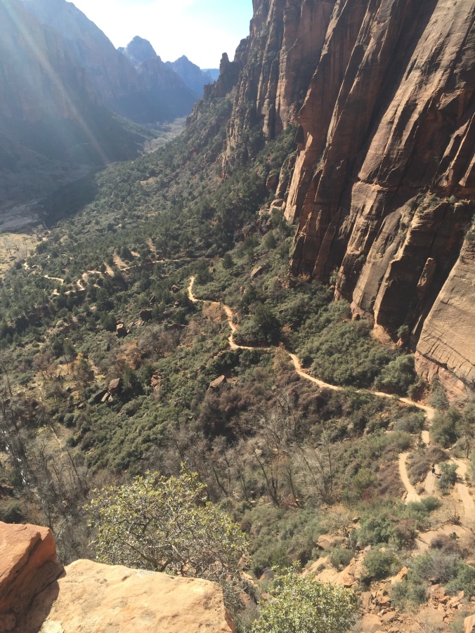
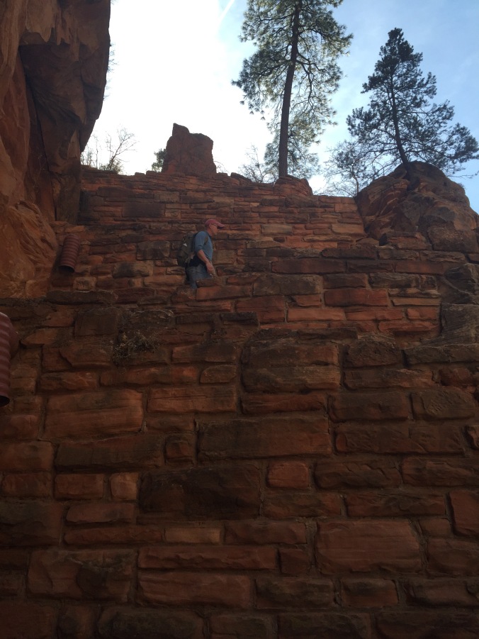
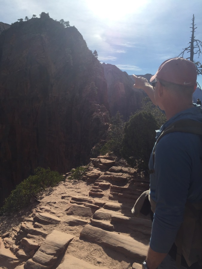
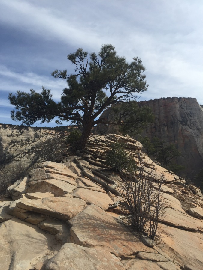
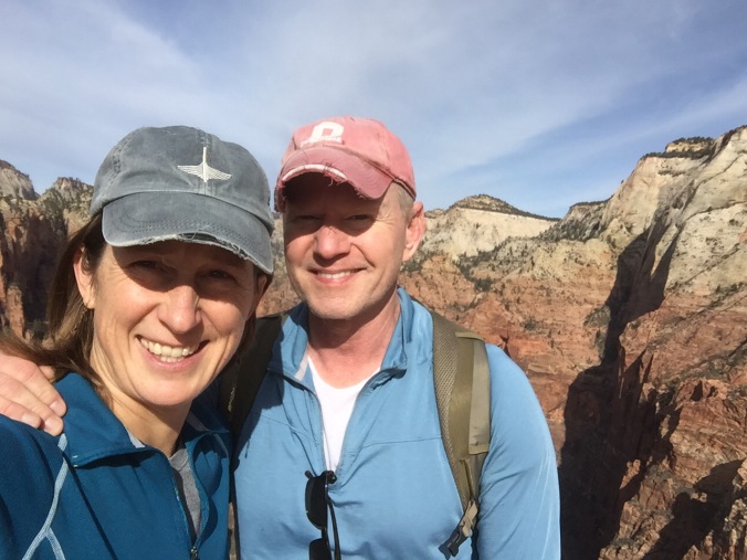
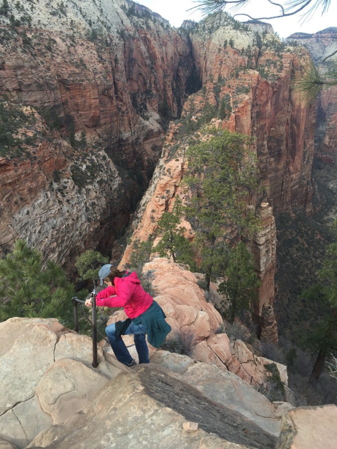
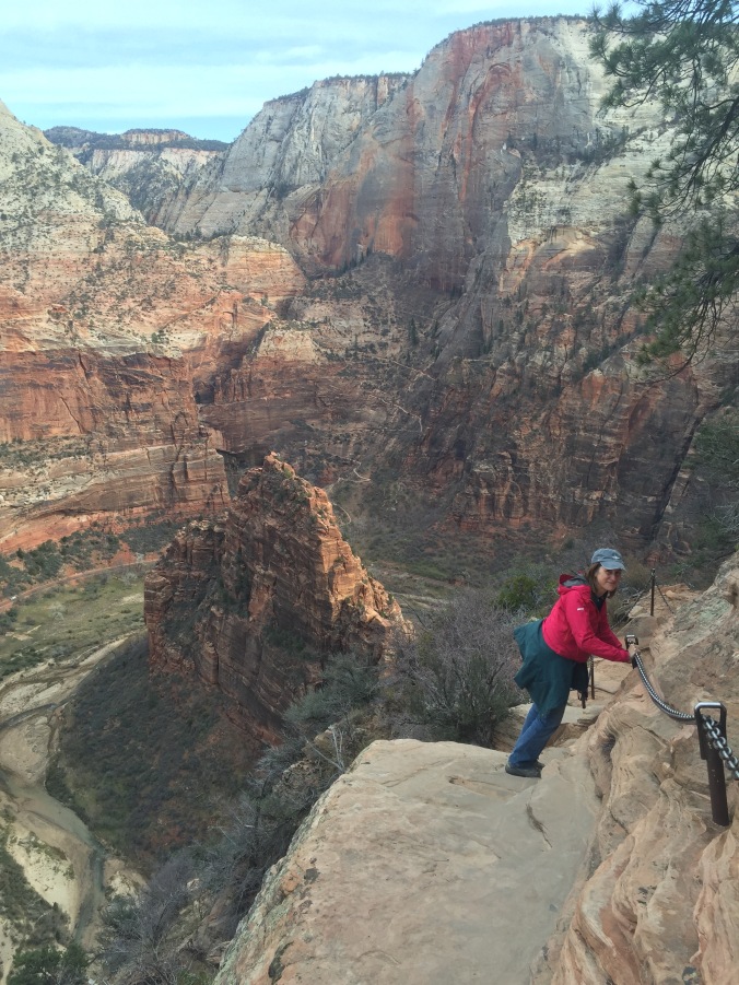
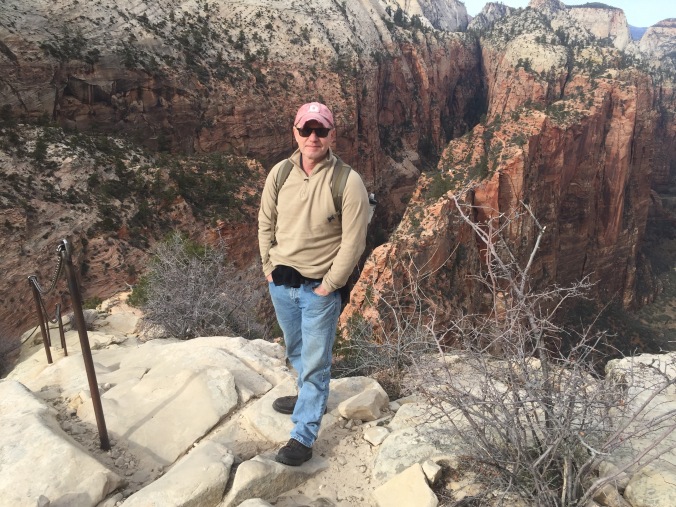
After consulting with a ranger, we set a course to do several short hikes as we crossed the park from the West Entrance, past our campground, toward the south entrance. If fact, you may want to start calling us “Short Hike Barkers on Break,” we did so many. Feel free to follow along (from left to right) on the map below.

JT map

First up, Hidden Valley. As the name suggests this expanse is hidden behind a ring of boulders. Rumor has it (not much confirmed historical fact in the stories here, but they are upfront about it!) cattle rustlers used to hide out here with their loot.

IMG_4123

Can you spot Ben hiding in the valley?

You will see boulders and Joshua Trees, and other trees and all kinds of shrubs and bushes (technical terms anyone?). The walk here, as throughout most of the park, is on sand, like being on a beach. You will see climbers. More of Hidden Valley below…

It was a clear day for the next stop, a drive up Keys View. You can see Palm Springs and  the whole Coachella Valley, and the Sultan Sea. Mexico too, they say, but hard to tell. Somewhere down there the San Andreas fault is biding its time. We ate our lunch on a bench overlooking the view.

IMG_4156

The view from the aptly named, Keys View

Moving east, we hadn’t really planned on stopping at Ryan Ranch, but the adobe remains can be seen from the road and called to us. Much graffiti and ranch “trash.” Climbers too. Enjoy my artsy pics.IMG_4167

IMG_4160

Next stop the Ryan Mountain trail head , not to hike the mountain (a “challenging” hike) but to see Indian Cave – not much of a trail but a cool IMG_4174rock that has campfire smoke from who knows how many eons of campfires.

We met Hash the van-cat there as well. He remindeIMG_4170d us of one of our cats, Gordo (who’s orange too).

When we told them about Gordo, Hash’s owners said: “Gordo! That’s such a great cat name!”

They were super hip, so we felt hip too. Not so hip to live with a cat in van though. Don’t worry, the windows were cracked and the temps mild. Shortly after this pic, he headed into the back for a nap while his owners hiked.

Moving east, Live Oak picnic site doesn’t advertise it-but if you drive a bit beyond the picnic tables on the dirt road you can see the growing, healthy live oak (below) for which the site is named. We hiked beyond it on a pseudo-trail and really enjoyed the views and the solitude and the ROCKS. If these pictures don’t convince you to sign our petition to rename this park “Joshua Trees and Rocks” then you are missing the big picture.

IMG_4175-0

Finally, timed for sunset, a bit toward the South Entrance, we visited the Cholla Cactus Garden. You can really see the terrain change on this drive. It’s not gradual. It’s abrupt. And the cacti literally glowed in the sunset while the views of now the Colorado (as opposed to the Mojave) desert mountains were lovely.

The next day we had a lazy-ish morning – Ben hiked around and I did yoga in the sand outside the trailer. I’ve done this a few times now – yoga outside is the bomb; yoga to combat aging muscles that spend a lot of time in the car is the bomb de bomb. From our campground, we hiked to Skull Rock – a popular spot, and sure enough someone offered to take our picture. See how relaxed I am from yoga? You’ll note I am holding my newly re-acquired fanny pack, which, unlike all my jacket pockets, is indeed big enough to hold my phone. It’s getting deployed a lot now.

IMG_4207

We had signed up for the afternoon tour of the Keys Ranch. The Ranch sory was interesting enough, but I found the site just very visually striking – these dark strokes of lumber and piping and machines against the Joshua Tree browns and sands and blue sky etc.

IMG_4232

And though any kind of private tour seems at odds with the concept of a National Park, it did feel special to be there, and as though the Keys family had just up and left in a hurry, and here we were sneaking a peek. No neat and tidy site is this – it’s the sort of place they’d love to find on American Pickers. Junk everywhere. And the life story of the Keys family isn’t tidy either – for example when asked what Mr. Keys’ profession was, the guide replied “A little bit of everything” which is what it took to survive in the desert. Mr. Keys – actually ended up serving a IMG_4230sentence in Alcatraz – I won’t spoil it by saying what it was for (think Wild West).  The oldest Keys son visited the site regularly until he died just this year. He will be interred at the family plot still on site. The tour cost 10 dollars, and is only offered three days a week, though they are popular enough that they will be adding some more. I imagine it’s a struggle for the hardworking public servants at NPS to have to limit access to such a cool part of the park.

IMG_4231

The rangers have access to a Library/Archives onsite to help them research and show “past and present” like with this old photo of an area of the ranch.

Afterward, we had time for one final short hike – Barker Dam of course. It hadn’t been heralded in any of the hike guides we perused, but of course we had to go. And it was fantastic! Again, maybe b/c of the time of day. It was flat, with rolling hills and the most incredible site in the middle – a dam that was built and rebuilt by ranchers who lived and grew live things here in the desert!

More pictures from Barker Dam….

Joshua Tree was a great way to launch our time in the southwest. And, though doing a bunch of small hikes and seeing more doesn’t always feel like the right approach, it worked very well for us at this park.  Like the Joshua Tree itself, we avoided establishing deep roots in any one part of the park, and instead attempted to absorb as much as possible through a broader approach.